editorial_release06 Nov 2026· Monaco
Monaco Launches "Poseidon 2027" Initiative to Map Entire Seabed of its Territorial Waters
The ambitious project will use advanced sonar technology to create a high-resolution 3D map of the Principality's marine environment.
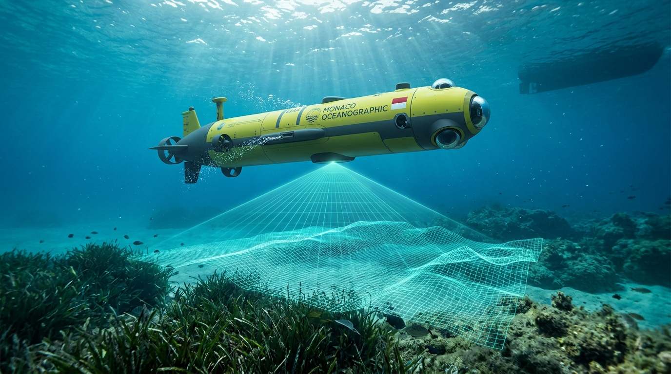
MONACO — November 4, 2026 — The Monaco Scientific Center (CSM) and the Department of the Environment have jointly launched "Poseidon 2027," an ambitious project to map the entire seabed of Monaco's territorial waters using high-resolution sonar and underwater drone technology.
The project, which begins this week, will create a detailed 3D model of the marine floor, identifying critical habitats, shipwrecks, and areas affected by coastal development. The data will be used to inform future marine protection policies and to monitor the health of Posidonia seagrass meadows.
"Understanding the seabed is essential for protecting it," said the project's lead marine biologist. "Poseidon 2027 will give us the most complete picture of our marine environment ever created."
Initial mapping results are expected by March 2027, with the full dataset to be made publicly available to researchers and policymakers.
Last updated: 06 Nov 2026